


Transportation information for Indiana Dunes Lakeshore is provided below. Travel information includes driving directions, maps, airport information and more.
Map Directions
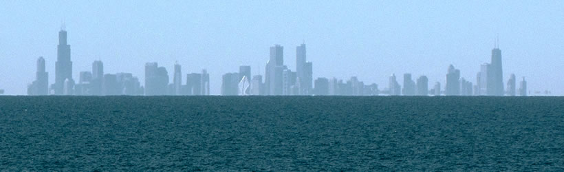
Indiana Dunes National Lakeshore is 55 miles west of South Bend and 20 miles north east of Gary. The lakeshore is accessible via U.S. Highways 12 and 20.
Transportation Services
Gary Public Transportation Corp
- Gary
- Transportation Services
- 219-884-6100
Coach USA Tri State/United
- Gary
- Transportation Services
- 574-254-5000
South Shore Train
- Chesterton
- Transportation Services
- 312-836-7000
All Around Town Taxi
- Gary
- Transportation Services
- 219-972-0000
NW Indiana Regional Bus Auth
- Portage
- Transportation Services
- 219-762-4767
Triple A Express
- Highland
- Transportation Services
- 219-972-3233
Classic Taxi
- Schererville
- Transportation Services
- 219-322-8758
Airports
Chicago Midway Airport is 37 miles away from Porter, and the Indiana Dune Lakeshore. This is your closest airport into this destination.

